rev. 17.05.99
GPS Maps
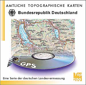 The topographical map of Germany has a scale of 1 : 200 000 and is published by the Bundesamt für Kartographie (bkg) and contains supplemental
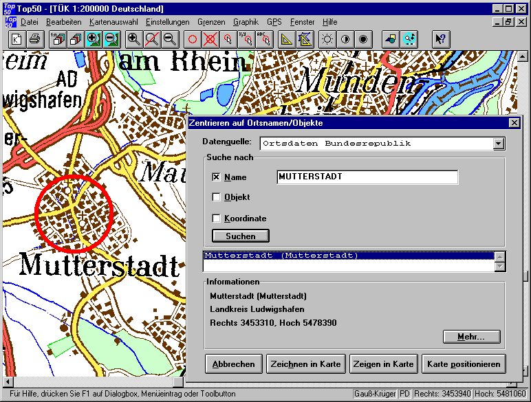
maps with a scale of 1 : 500 000 and 1 : 1 000 000 and is sold on a single CD-ROM. It contains a register of city and village names and may be positioned by typing the respective names or coordinates.
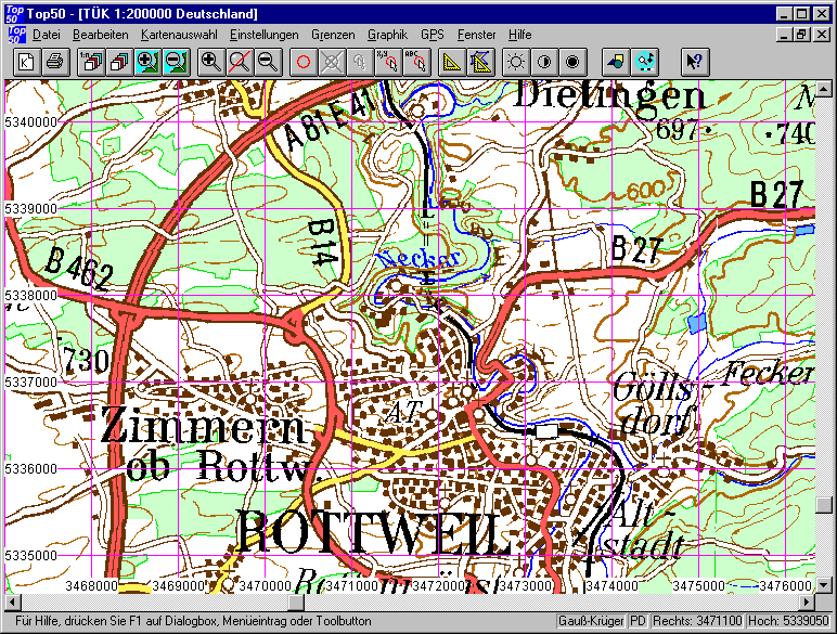
It is possible to change quick between the different maps and the maps may be zoomed in and out. Distances and areas may be measured. Overlays may be created and saved.
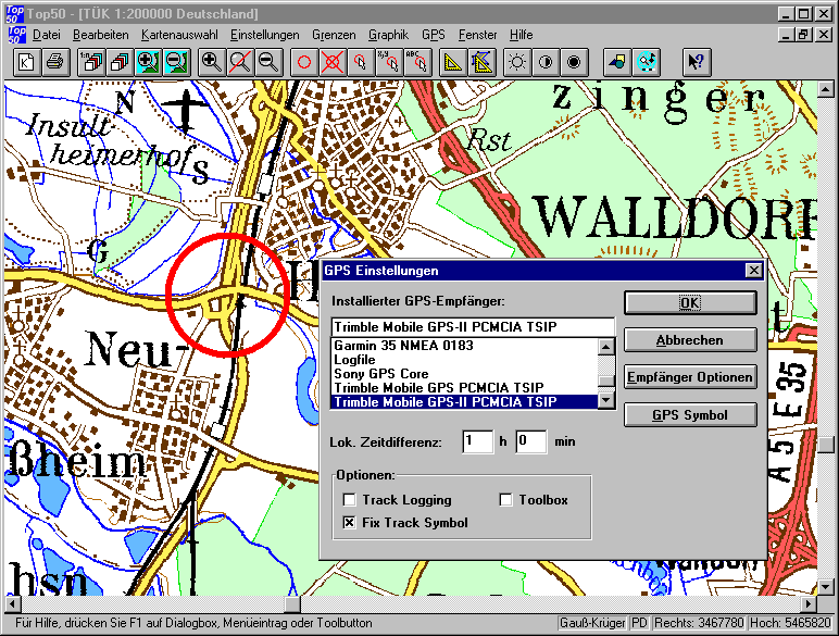
The visible part of the map may be printed or copied to the Windows clipboard. A database interface is included as well as a GPS-interface. The program may be operated under Windows 3.1, Windows 95/98 or Windows NT.
The topographical map of Germany has a scale of 1 : 200 000 and is published by the Bundesamt für Kartographie (bkg) and contains supplemental
maps with a scale of 1 : 500 000 and 1 : 1 000 000 and is sold on a single CD-ROM. It contains a register of city and village names and may be positioned by typing the respective names or coordinates.
It is possible to change quick between the different maps and the maps may be zoomed in and out. Distances and areas may be measured. Overlays may be created and saved.
The visible part of the map may be printed or copied to the Windows clipboard. A database interface is included as well as a GPS-interface. The program may be operated under Windows 3.1, Windows 95/98 or Windows NT.
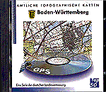
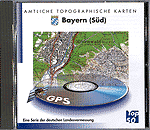
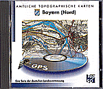
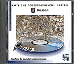
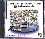
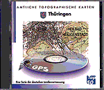
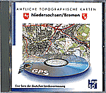
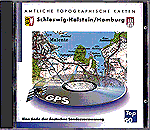
For those who need a higher resolution there are special CD-ROMs for the different states of the federal republic of Germany available they have the
same features as the CD-ROM for Germany, but they are limited to the region of the specific state. The scales of these maps are 1 : 50 000, 1 : 200 000 and
1 : 1 000 000. The user interface is identical to the Germany CD-ROM. They are published by the respective state authorities. (Landesvermessungsämter) Prices vary along with the
covered area.
Some Screenshots
Ingenieurbüro Frank Markmann
Gottfried-Blum-Weg 4
D-88639 Wald
Germany
Phone: +49-(0)-7578-933141
Fax: (on request)
Return to previous
Return to homepage
Fire Investigation in Germany /
webmaster
/ revised 17.05.1999